Delimitation Map 2025
🗺️ Adat Grama Panchayat Ward Map
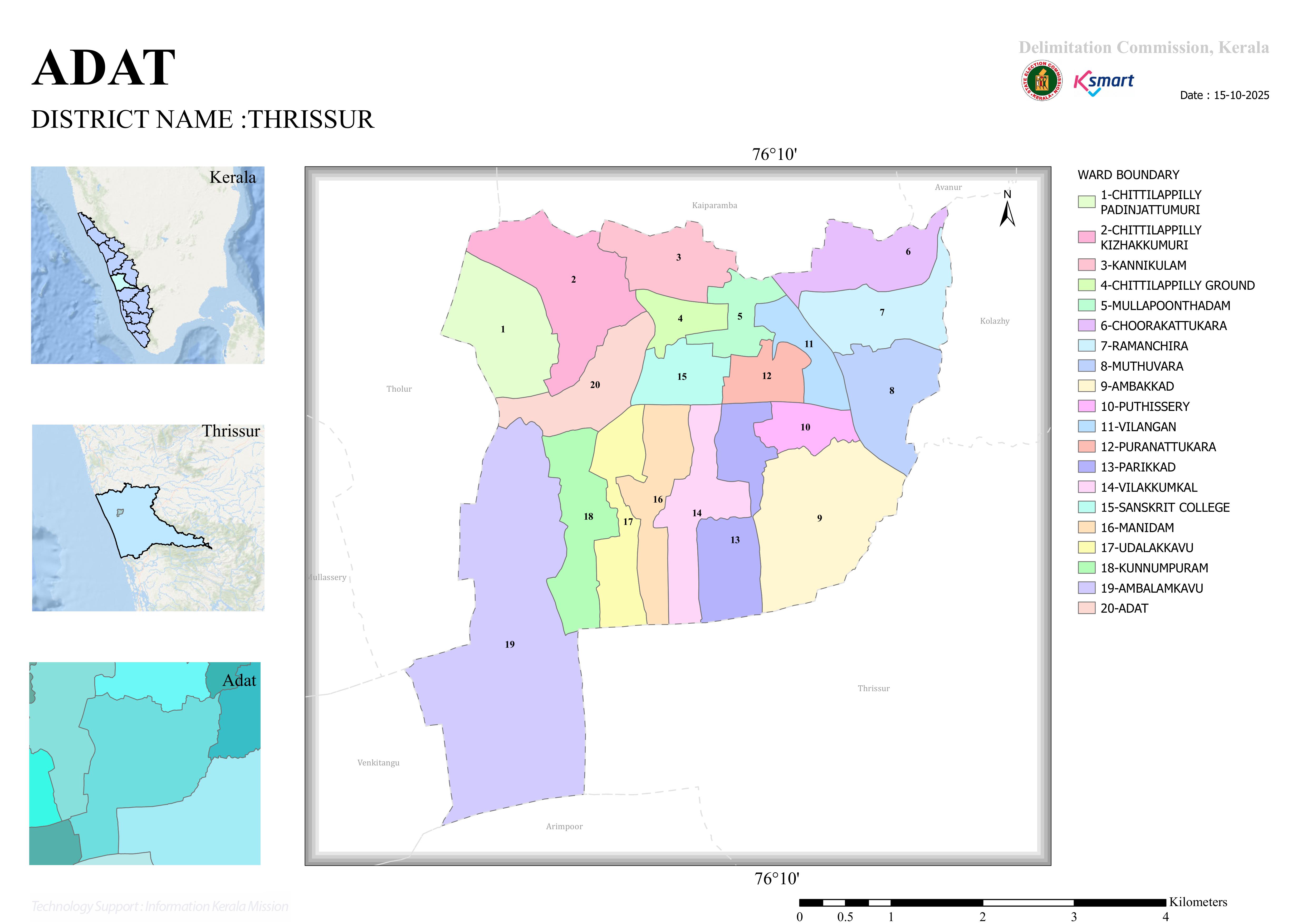
Official Interactive Ward Map of Adat Grama Panchayat prepared based on the 2025 Ward Delimitation.
About the 2025 Ward Delimitation Map
This is the official ward map prepared using GIS technology as part of the 2025 Ward Delimitation process for Local Self Government Institutions in Kerala. The map helps the public understand ward boundaries and access area-specific information with ease.
Interactive Ward Map
Official GIS-Based Ward Map
📍 Ward Boundaries
Updated ward boundaries based on the 2025 delimitation.
🔍 Interactive Navigation
Zoom in, explore areas, and view locations with ease.
🌐 GIS Technology
Provides accurate geographical information using GIS-based mapping technology.
Note: If the map is not displayed within the website due to browser security restrictions, please use the “Open in Full Screen” button.